
Environmental Compliance & Consulting
Regulatory approvals, audits and documentation that stand up to inspection.
Explore Environmental Compliance & Consulting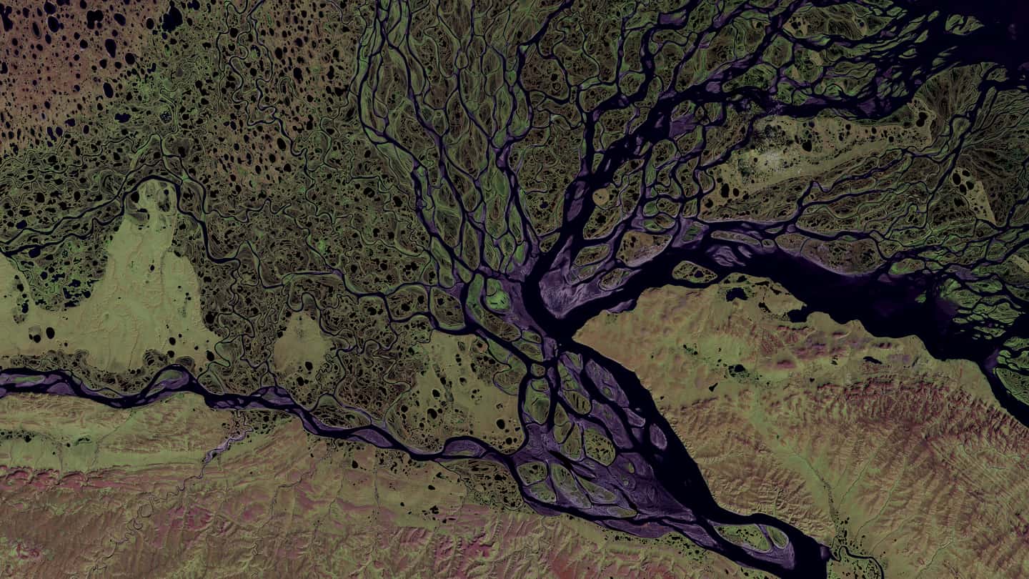
Environmental Impact Assessment and clearance support, GIS and remote sensing, water and wastewater engineering — from field investigation through to a commissioned system.
Environmental challenges are rarely simple. Limited site data, fragmented information, shifting regulatory requirements and solutions that look good on paper but cannot be built make environmental decision-making difficult.
We bridge that gap through field investigation, scientific analysis, GIS and remote sensing, and practical engineering — so what you receive is a clear picture of your site and a solution that can actually be implemented on it.
We start on the ground, not in a template. Site conditions are measured before anything is designed or claimed.
Water, waste and environmental data tested and interpreted against the standard that actually applies to its use.
Spatial evidence that answers where, adjacent to what, and draining into where — not just how much.
Treatment systems and technical designs sized for the real load, the real site and the real budget.
Environmental compliance and auditing, Environmental Impact Assessment and clearance support, GIS and remote sensing, water, wastewater and solid waste engineering, sustainability consulting, and training and research support — from one team, on one set of site data.
Regulatory approvals, audits and documentation that stand up to inspection.
Explore Environmental Compliance & ConsultingComprehensive EIA reports and the site investigation that Environmental Clearance rests on.
Explore Environmental Impact Assessment & ClearanceMapping and spatial analysis for environmental planning, assessment and research.
Explore GIS, Remote Sensing & MappingTreatment systems designed for the real load — sewage, solid waste, pool and process water.
Explore Water, Wastewater & Solid Waste ManagementIntegrated sustainability strategies for environmentally responsible development.
Explore Sustainability & Eco SolutionsBuilding knowledge and technical capacity for industry, researchers and students.
Explore Training, Research & Academic SupportThe capabilities behind the six service areas. Each one links to where it is covered in full.
We support our clients from initial assessment and planning through implementation and continuous monitoring — transforming environmental challenges into opportunities for responsible growth and innovation.
Find out where you actually stand, on the ground.
Turn those findings into a defensible, costed plan.
Approvals obtained, systems commissioned, records kept.
We stay on, and keep the performance measurable.
We bridge environmental responsibility with practical implementation.
Expertise you can trust. Engineering backed by evidence. We support clients from first assessment through to continuous monitoring rather than handing over a report and leaving.
On regulation, geospatial method and environmental performance — written for the people who have to act on them.
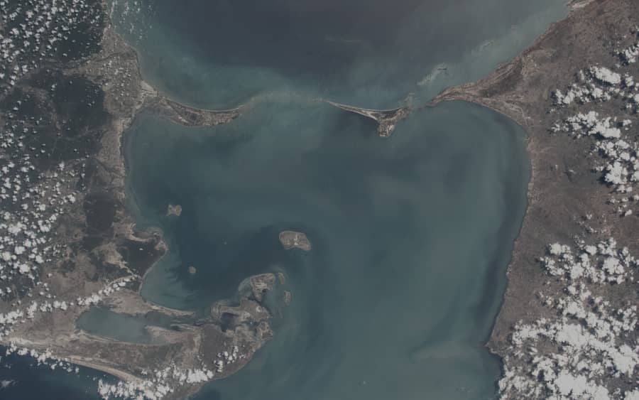
The cartographic outputs reviewers actually look for in an Environmental Impact Assessment — and the reasons maps get sent back.
Read
Why the assessment stage determines everything that follows in an environmental compliance programme — and what a weak baseline costs later.
Read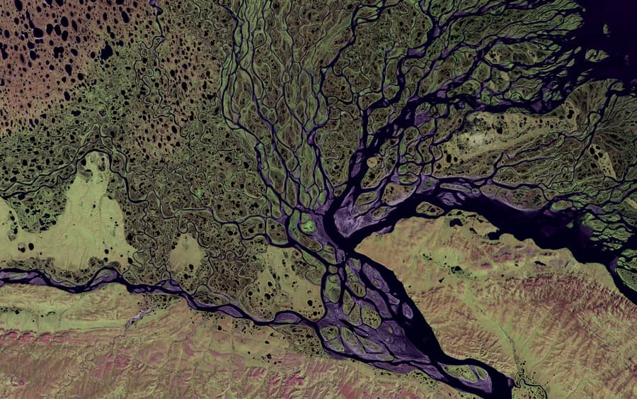
Turning sustainability commitments into figures that survive an audit — and why the second reporting cycle should be easier than the first.
ReadA map and the full enquiry form are on the contact page.